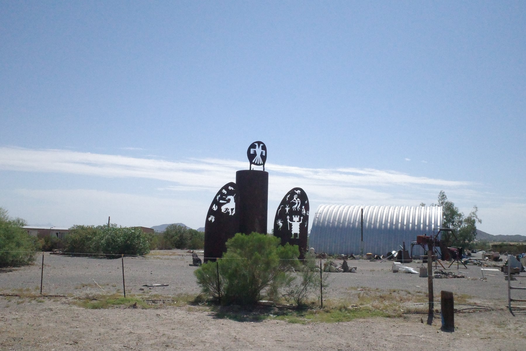
Wickenburg is a small town (pop 7,500) on the very northern edge of Maricopa County, Arizona, the fourth largest county in the US, containing Phoenix. Maricopa County is therefore significant, e.g. for the wrong reasons, when it holds scurrilous “audits” of lost elections. Or for good reasons, like when it prepares a climate action plan.
I don’t know how much it has been implemented, but the Climate and Health Strategic Action Plan 2016-21 is notable for several, mixed reasons.
One: that it exists at all given the political divides in Arizona.
Two: that it dances around the question of whether climate change is human-made.
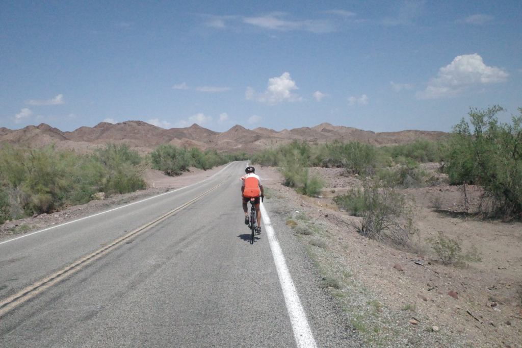
Three: it links climate change with a fundamental concern of the people in the region. HEAT!! And its effects on public health. And, boy, have we felt the heat—one excessive heat advisory after another. That third point is crucial for attacking climate change: solutions have to respond to self-interest to have a chance of success…
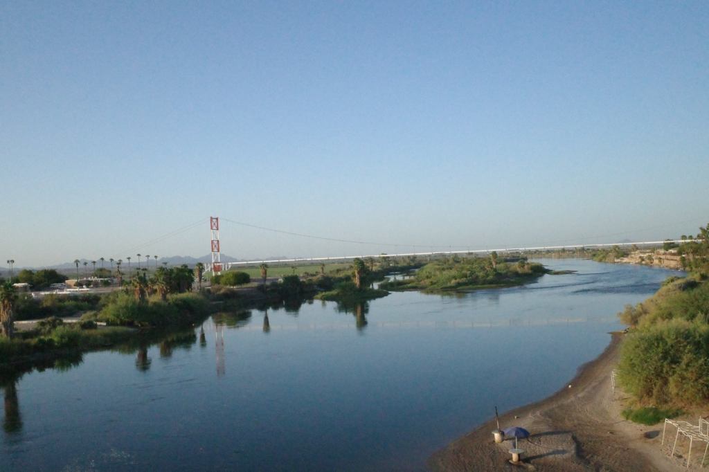
On our way out of Blythe California en route to Wickenburg, Arizona, on Saturday, we crossed the Colorado River. Strong enough to carve the Grand Canyon, but no longer strong enough to reach the ocean.
Its waters are diverted by thirsty agriculture (70 percent is a number I’ve seen), industry and households as it runs through seven western US States. Then what little is left enters north-western Mexico, and rarely if ever reaches the Gulf of California in Mexico.
Another marker of climate change: river flow is already down 20 percent from last century; and some models predict a loss of a further 50 percent. You can bet that if the river dried up in California, something would have been done years ago. This is not “The Wall.” But Mexico is paying!
Did you know it takes more than 800 gallons of water to grow the food you consume in ONE DAY?
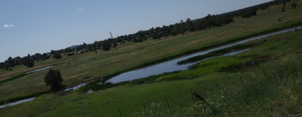
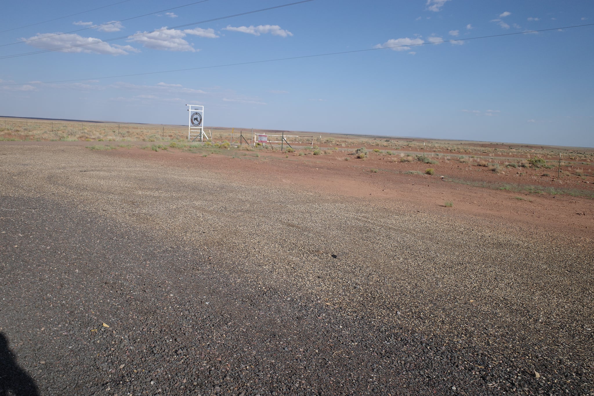
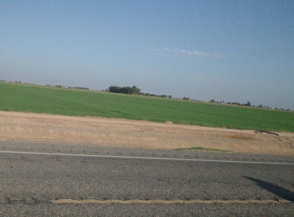
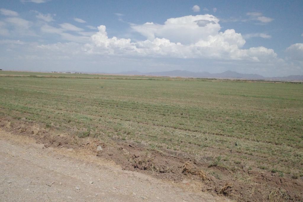
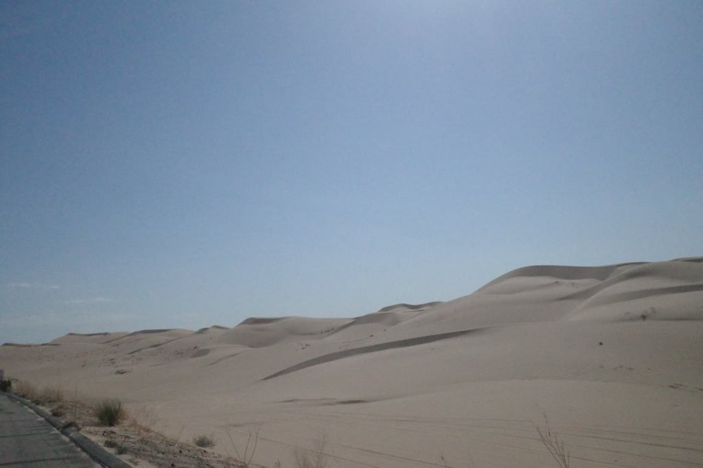
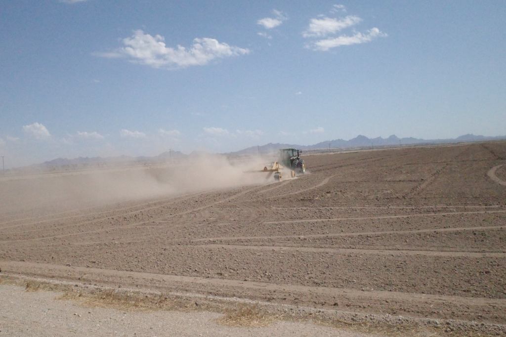
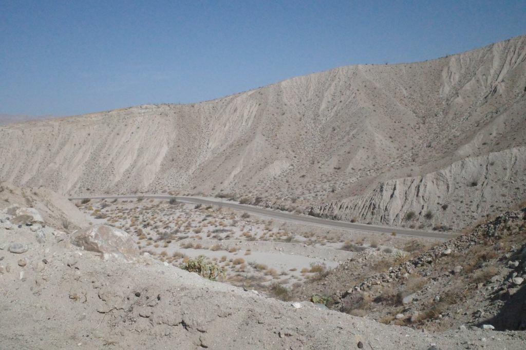
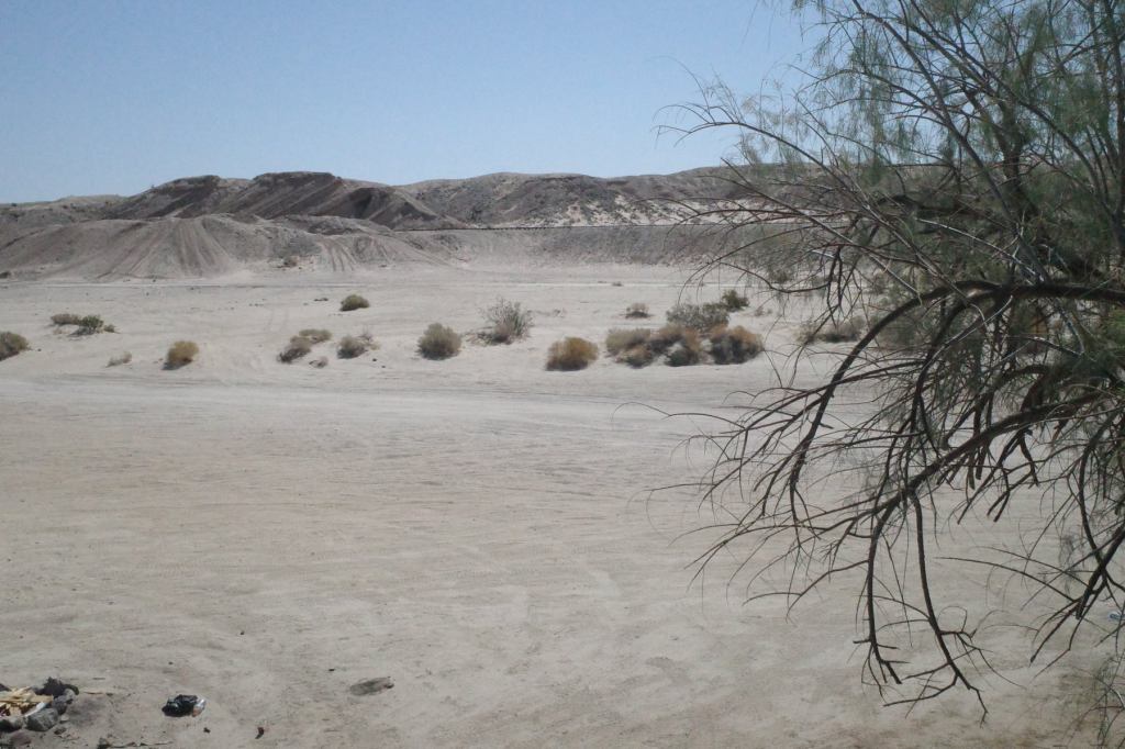
We just rode through Imperial County (El Centro to Blythe). It is very hot desert and looks barren. It rarely rains. Yet agriculture is a huge part of the local economy, and it supplies all manner of salad and vegetables to the US. I saw it riding through Imperial County; you can see it represented in this 3-D representation of that ride.
It does it solely by using the Colorado River, through widespread irrigation systems in specific areas of the county. Very many other regions use the Colorado. More on that tomorrow. If the Colorado supplies less in the future because of climate change, then the region will just revert to desert.
Agriculture is threatened by a vicious cycle of toxicity with climate change. As temperatures rise, bugs become more prolific, the number of generations per year increases…and farmers apply more pesticide, which ends up in run off, and adds to the noxious mix in the Salton Sea.
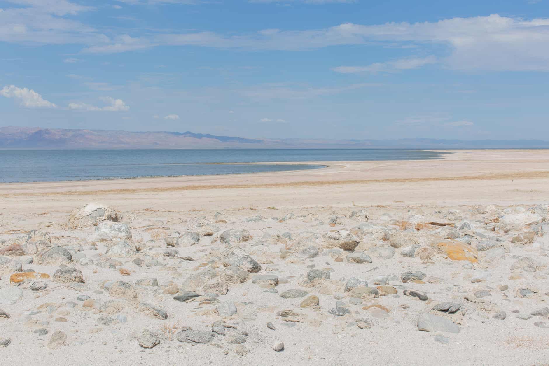
We pass a little to the South of the Salton Sea, CA’s largest lake, too far away to see. In a few decades it may not be there. It was created almost by accident in the early 20th century, when an irrigation channel was breached by the Colorado River, which filled up a low lying dry natural basin. It became a popular resort for the wealthy for a while. Then, decades ago, it began to shrink, drying up, a process that is no doubt being hastened by climate change. It may suffer the fate of Russia’s Aral Sea.
For now, a century of agricultural run off, pesticides, fertilizers has ended up in the “sea”. The water is toxic, and so is the air. As the bed dries out, all the toxins are mixing with the desert dust and industrial emissions. As the wind blows, the air becomes noxious. Respiratory diseases run rife. The wealthy elite is long gone. This is an area for the low income, and people of color, suffering the impact of environmental degradation, hastened by climate change.
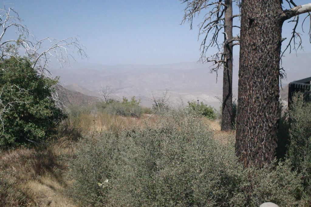
Today’s ride went from from Julian CA in the mountains to El Centro CA in the desert plains.
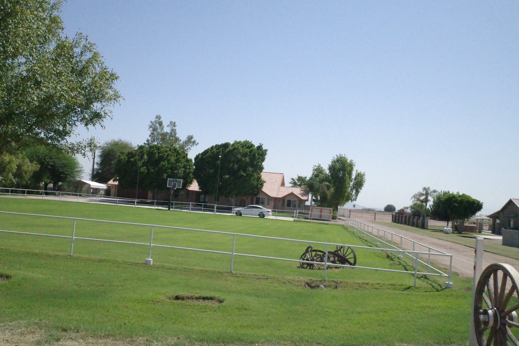
Still a relatively short day (about 85 miles) but seriously hot for much of the day, close to 110F (42C). The Relive map above shows the stark contrast between the desert and the heavily irrigated fields and lawns, as do the pictures.
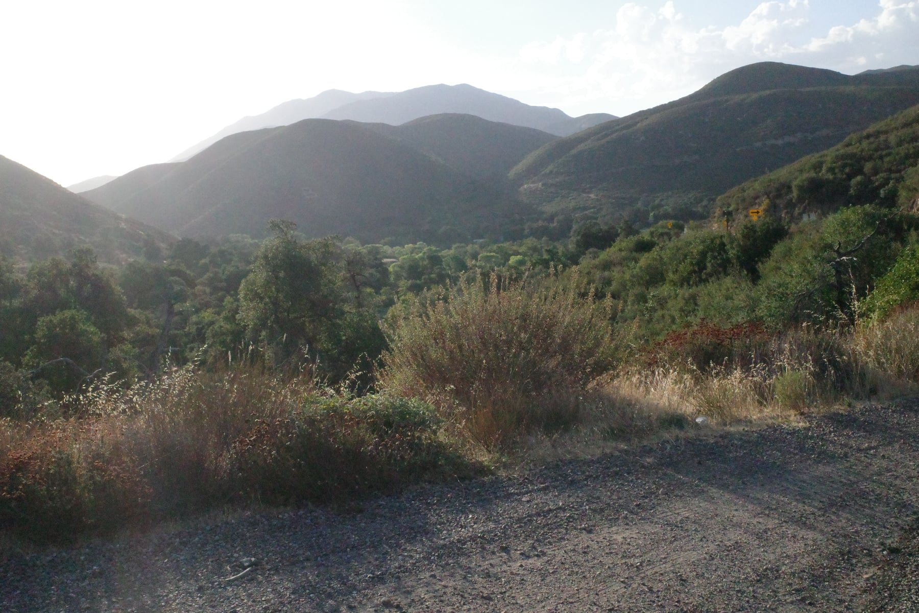
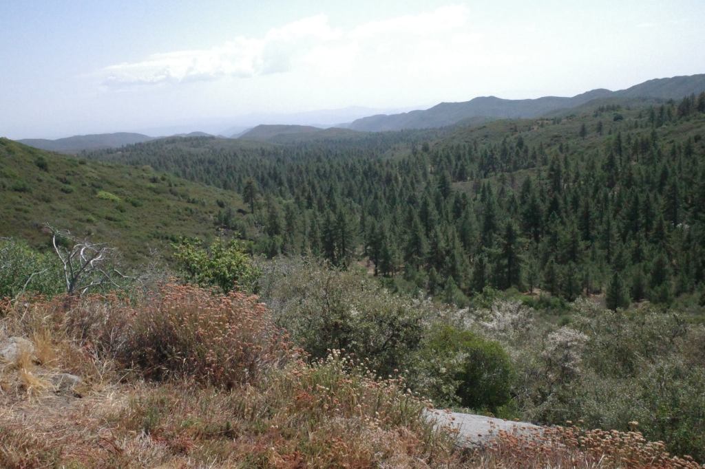
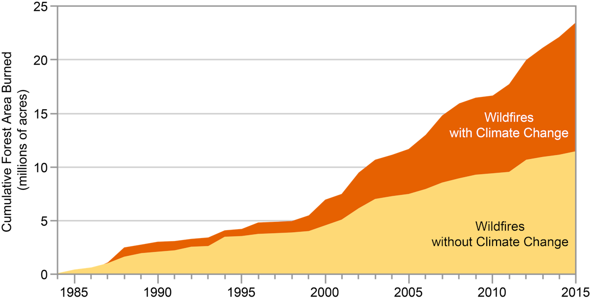
These days California means wildfire. Every year we hear that they are getting fiercer, more deadly, larger, lasting longer. The region we rode through today was the scene of the second or third largest fire in CA history, at the time, the Cedar Fire in 2003, near Julian. It burned for two months, destroying about 293,000 acres.
In August this year the Dixie Fire burned nearly half that acreage IN ONE DAY.
How to address it? It’s complicated.
Some forest fire always has been natural (e.g. lightning strikes) But rising temperature and drought are clearly factors in rapidly increased amount of burn. Forest management is an issue.
So who is responsible? Federal government owns 58% of California forest; California state just 3% with the rest being private or Indigenous Peoples’. And to compound the problem, as drought persists, demand for water increases from a growing population and thirsty forms of agriculture.